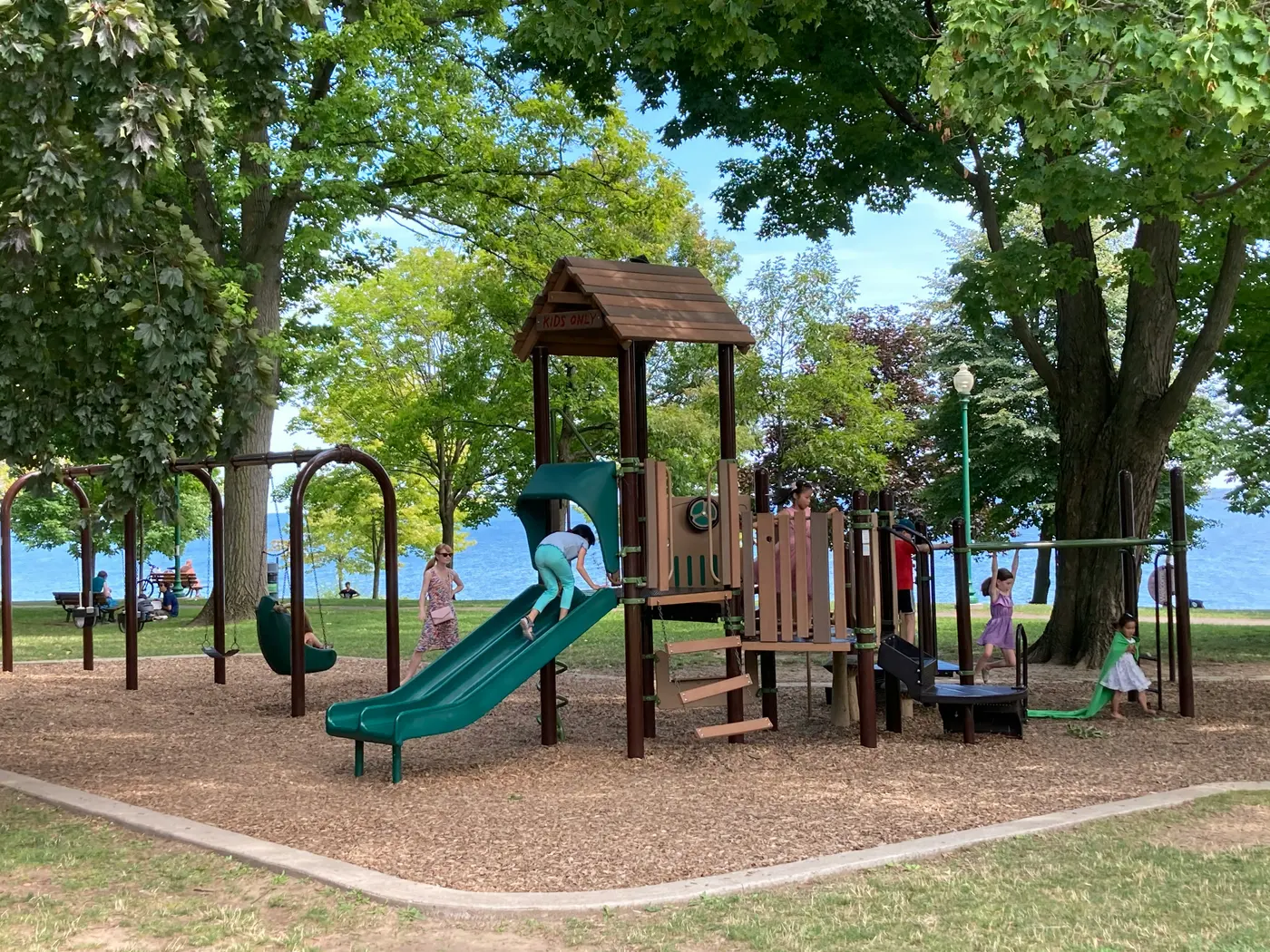
Inside the app
Browsing, filtering and contributing — the three things a family actually does.
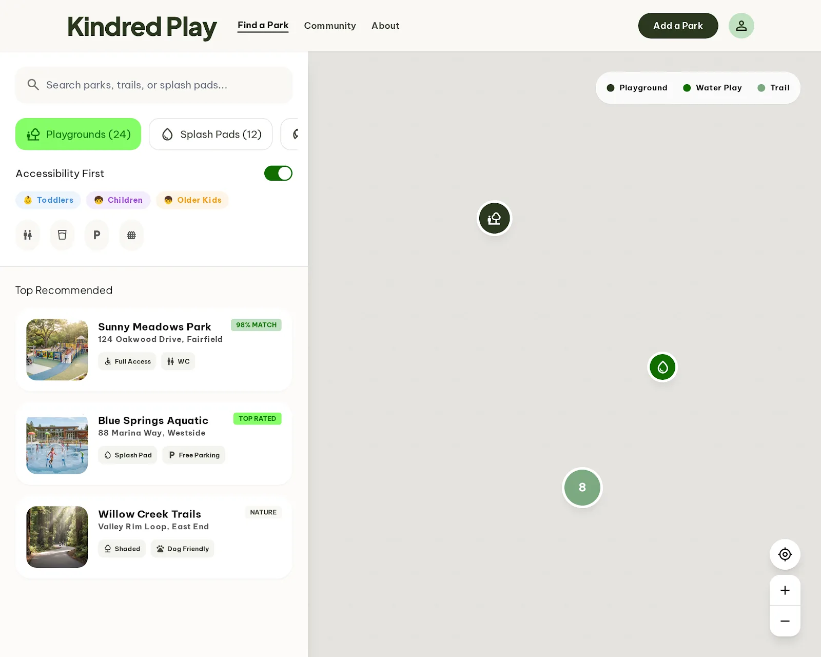
Find a Park
Filter by age group, accessibility and amenities, with results on a live map.
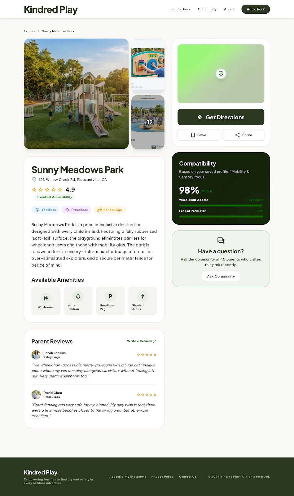
Park Detail
Amenities, accessibility and parent reviews for a single park.
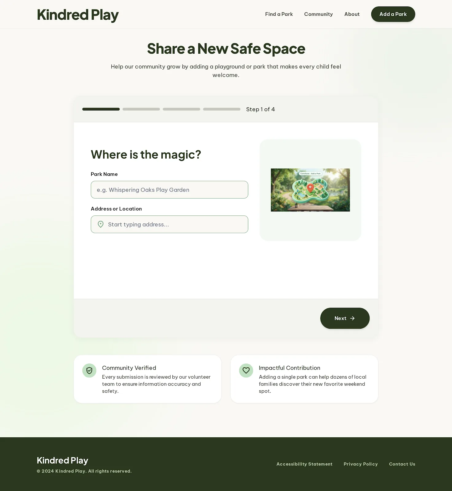
Add a Park
A guided submission flow so the community can grow the map.
The Problem
Google Maps doesn't verify playground listings. There's no age-appropriateness data, no detail on equipment or facilities, and no way to tell a maintained site from a neglected one. Families fall back on asking parenting groups which playground suits a two-year-old — a question that gets answered from memory, one neighbourhood at a time.
The Solution
A dedicated community platform for playgrounds. Every record is collected through a structured field survey, so equipment type, target age group, condition, surface material and amenities are captured consistently — and published somewhere anyone can search before they leave the house.
- Role
- Lead product designer and data engineer
- Team
- Solo
- Timeline
- 2025 — ongoing
- Organization
- Personal / civic project
Background & Impact
Background
As the Lead Product Designer and Data Engineer, I bridged the gap between complex GIS datasets and human-centric UI — deciding what a parent actually needs to know, then designing a survey volunteers could fill in consistently.
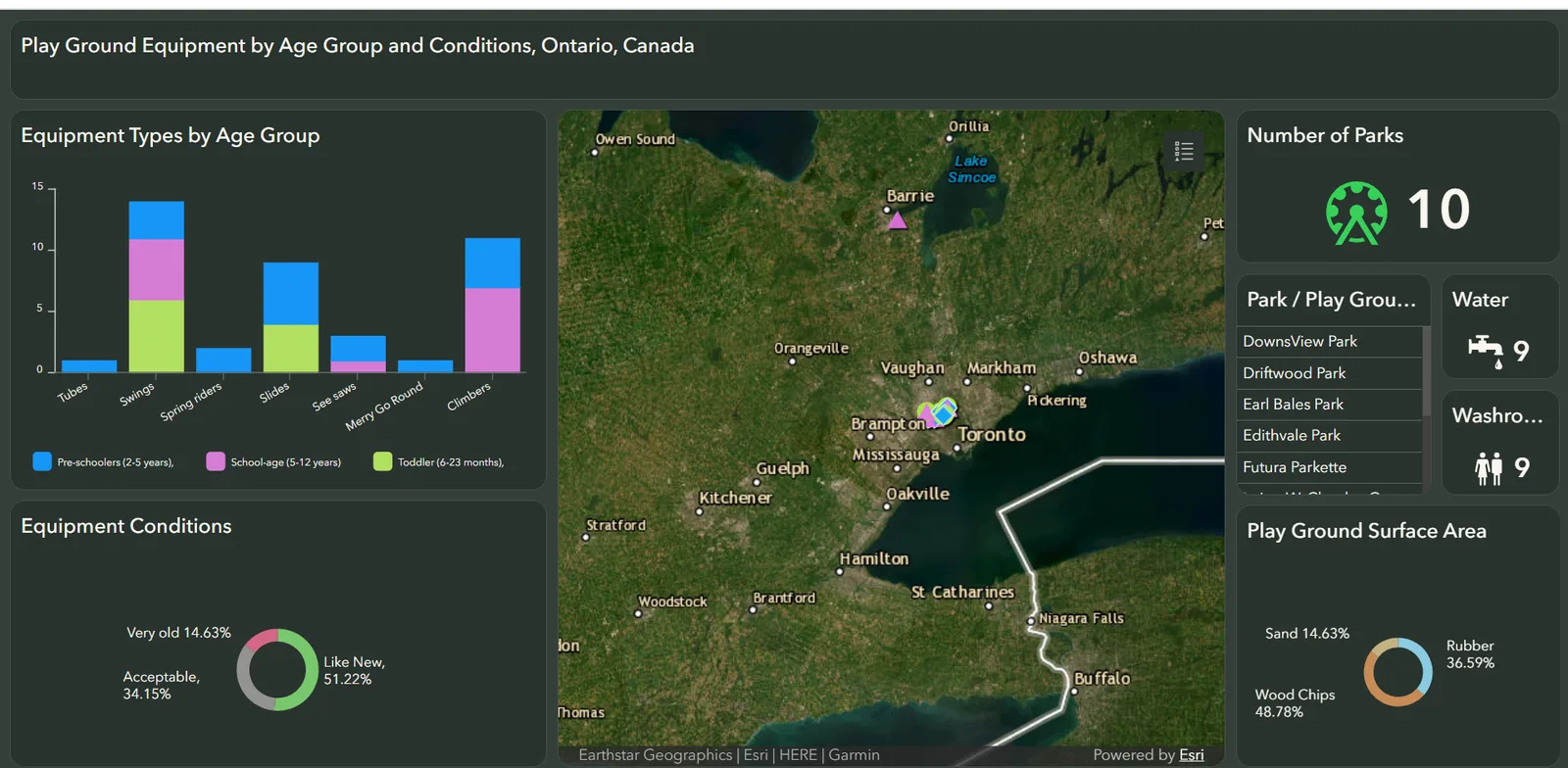
The project started inside the Esri stack: ArcGIS Survey123 for field collection and an ArcGIS dashboard for public exploration. That validated the idea quickly, but the data model outgrew what the platform could express — so I moved the pipeline to fully Python, cleaning, reshaping and publishing the dataset myself.
Impact
- Equipment Surveys
- 49 Equipment Surveys
- Verified Parks
- 10 Verified Parks
Technical Foundation
-
ArcGIS Survey123
Structured field collection for community contributors.
-
ArcGIS Dashboards
The public map and breakdowns by age, condition and surface.
-
Python
Cleaning and reshaping survey responses into the published dataset.
-
SQLite
Local spatial storage — bounding-box filtering is all the product needs.
-
Figma
Interface design for the browse, detail and submission flows.